Location
Limited parking is available at the end of Greely Road Extension. Please be sure not to block the driveway to the house at the end of the road. If this area is full, visitors can park at the main Knight’s Pond parking lot and walk up Greely Road Extension to the trail at the end of the road. The property is also accessible (but there is no parking) from Blanchard Road in Cumberland along a right-of-way on the northeast side of Blanchard Road about 3/10 mile southeast of the intersection with Bruce Hill Road. The right-of-way follows the southeastern edge of a large field before linking to the trail network on the protected property.
Date Protected
October 2010 and September 2025
OWNERSHIP
CCLT-owned
Size
61 Acres
Public Access
From the parking area at the end of Greely Road Extension, follow the trail up the hill until you see a trail that goes down on the left. This is the beginning of the Farwell Forest property. Trails totaling approximately 1.5 miles may be used for hiking, nature observation, cross-country skiing, snowshoeing, horseback riding, and snowmobiling.
Conservation Purposes
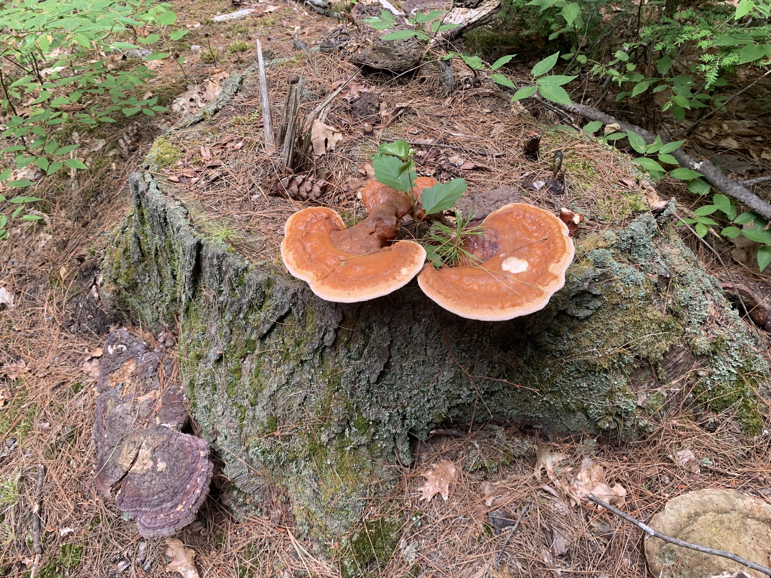
Protects mixed forest, wildlife habitat, recreational access, and a spring-fed stream within a conservation and recreation corridor linking several preserved open space areas.
Description & History
The Farwell family owned this property from 1850 to 2025, and for more than 100 years it was a working farm supplying the community with produce, livestock, hay, and lumber and fuel from a large woodlot. In 2010, the family generously agreed to grant an easement on more than 54 acres of the land to ensure that it would remain largely intact, while also being made available for public low-impact recreation. In 2025, the Seekins and Cameron families donated ownership of the land to CCLT, along with an additional nearly seven acres, bringing the parcel total to 61 acres.
The original woodlot was the brainchild of Norma Farwell Seekins. An educator of more than 30 years with the Cumberland school system, her dream was to share this special parcel with the community she loved and to preserve it in perpetuity. The forest remained a working “tree farm” through the years, but more significantly was valued by family as “nature’s classroom” with its abundance of plants and wildlife.
The hiking/biking trails offer the opportunity for exploration, exercise, and secluded spots for quiet reflection. For decades in the winter months, the local snowmobile club has maintained access to a vast network of trails. This parcel is entirely forested with an abundance of pine and oak, and the topography is mostly flat with some rolling hills.


